


le Collet - Longemer

oscar1
User
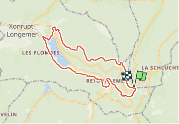


4h42
Difficulty : Medium

FREE GPS app for hiking
 SityTrail
IGN / Geographical institutes
SityTrail Plus
The world is yours!
About
Trail Walking of 17.1 km to be discovered at Grand Est, Vosges, Le Valtin. This trail is proposed by oscar1.
Description
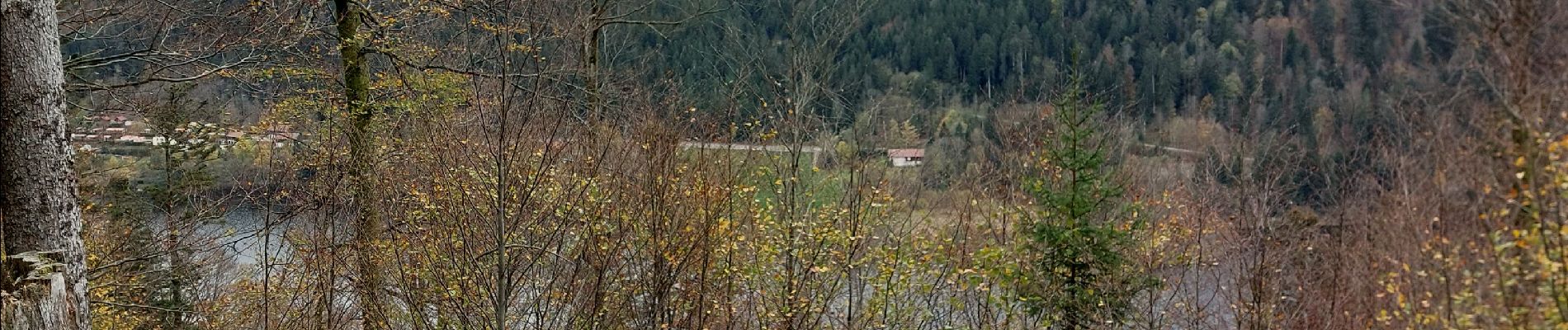
Chemin de dames caillouteux pas agréable à marcher. Très belle vue depuis la roche Boulard sur le lac de Longemer. A partir du Balveurche une montée parfois raide jusqu'au HautGazon ou il faut sortir du sentier pour avoir une superbe vue sur le Lac de Retournemer et Longemer. Belle randonnée. Cette randonnée peut être réalisée au départ de Longemer. De ce fait la montée vers le Haut Gazon sera en 1 ère partie.
Photos


Positioning
Comments